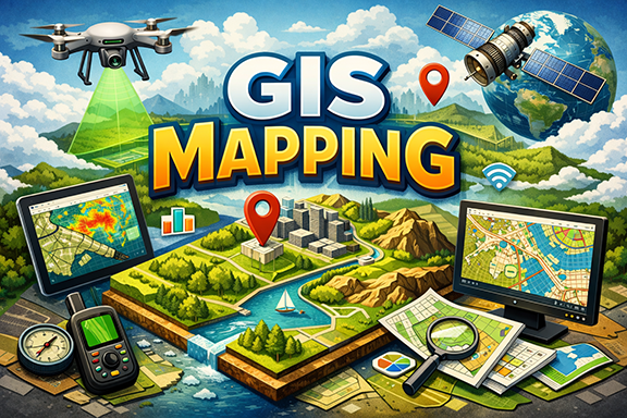
I provide professional GIS mapping services in India for environmental consultants, planners and infrastructure projects. As a GIS consultant in India, I specialize in GIS mapping for EIA, land use analysis, georeferencing services, toposheet digitization and LULC mapping using QGIS and ArcGIS.
Practical GIS services commonly required by EIA consultants, planners and infrastructure teams.
LULC, thematic maps, buffer & overlay analysis, custom symbology and A0/A1/A3 map layouts for submission.
Study area maps, impact zone mapping, EC/EIA compliant maps, forest clearance support maps and layers.
Toposheet georeferencing, historical map alignment, digitization to Shapefile/KML/GeoJSON — precise & documented.
Integrate survey points, correct projections, QA/QC of spatial data for government & consultancy submissions.
Proximity analysis, suitability mapping, risk mapping and custom spatial models for planning decisions.
Delivery formats: Shapefile (.shp), GeoJSON, KML, GeoTIFF, PDF maps, and editable QGIS/ArcGIS projects.
I provide professional GIS mapping services with a strong understanding of Indian EIA, EC, and planning requirements. My focus is on delivering accurate, submission-ready GIS maps that consultants and project teams can directly include in reports without rework. With hands-on experience in QGIS and ArcGIS.
I ensure correct projections, clean datasets, clear layouts, and proper metadata for every project. Clients value my fast turnaround, transparent communication via WhatsApp, and practical approach to GIS problems. Whether it is environmental clearance mapping, land use analysis, or georeferencing, I work with reliability, attention to detail, and cost-effective pricing suited for Indian consultancies and professionals.
Typical clients: EIA consultancies, project managers, urban planners, surveyors and NGOs. I provide clear map packs ready for inclusion in reports and submissions.
“Accurate GIS maps prepared exactly as per EC/EIA requirements. Very reliable.”
— Environmental Consultant, West Bengal“Clear layouts, correct projections and fast response on WhatsApp.”
— Infrastructure Firm, Maharashtra“Digitization quality was excellent. Shapefiles were clean and well structured.”
— GIS Analyst, Delhi“Good understanding of forest clearance and study area mapping.”
— EIA Consultant, Odisha“Delivered urgent maps on time for submission. Highly professional.”
— Project Manager, Jharkhand“Strong knowledge of LULC mapping and thematic layers.”
— Urban Planner, Kolkata*Feedback shown represents typical client experiences from freelance and project-based work.
Prices shown as starting from. Final quote depends on project scope and data.
“Delivered accurate EIA maps on time. Communication was smooth via WhatsApp.” — EnviroConsult, Kolkata
“Good quality digitization and fast turnaround.” — Planning Firm, Delhi
I deliver Shapefile, GeoJSON, KML, GeoTIFF, and high-resolution PDF maps. Also provide QGIS project on request.
Yes — I prepare standard EC/EIA map layouts and include legends, scale bars and projection metadata as required.
Send via Google Drive / WeTransfer / email. I will provide instructions for data structure and projection.
Shortlist your requirement and message on WhatsApp for fastest reply.
Looking for a reliable GIS consultant in India? I provide accurate GIS mapping services including EIA GIS maps, georeferencing services, LULC mapping and toposheet digitization for government and consultancy projects across India.